Welsh EO Programme Resources
Easy access to documents relevant to the Welsh Government Earth Observation Programme
Welsh EO Programme Courses
Planet courses for the Welsh Government Project
Welsh EO Programme Webinars
Live and recorded webinars
Planet Community Forum
Discuss your Planet Imagery use cases and ask questions on the wider Planet Community
community-redirect
ArcGIS Pro: Darstellung & Berechnung von Überflutungsgebieten
Tutorial, das zeigt, wie Sie mit ArcGIS Pro überflutete Gebiete aus Satellitenbildern berechnen.
German
Integrations
arcgis
Planet Add-in for ArcGIS
Webinar - Planet Explorer und Bildprodukte (24. August 2022)
Dies ist ein technische Einfühung in die Web-Anwendung Planet Explorer, die es ihnen ermöglicht, auf das umfangreiche Bildmaterial von Planet zuzugreifen. Desweiteren werden die von Planet angebotenen Bildprodukte im Detail vorgestellt.
1 Std
German
Recorded Webinars
Deutsch
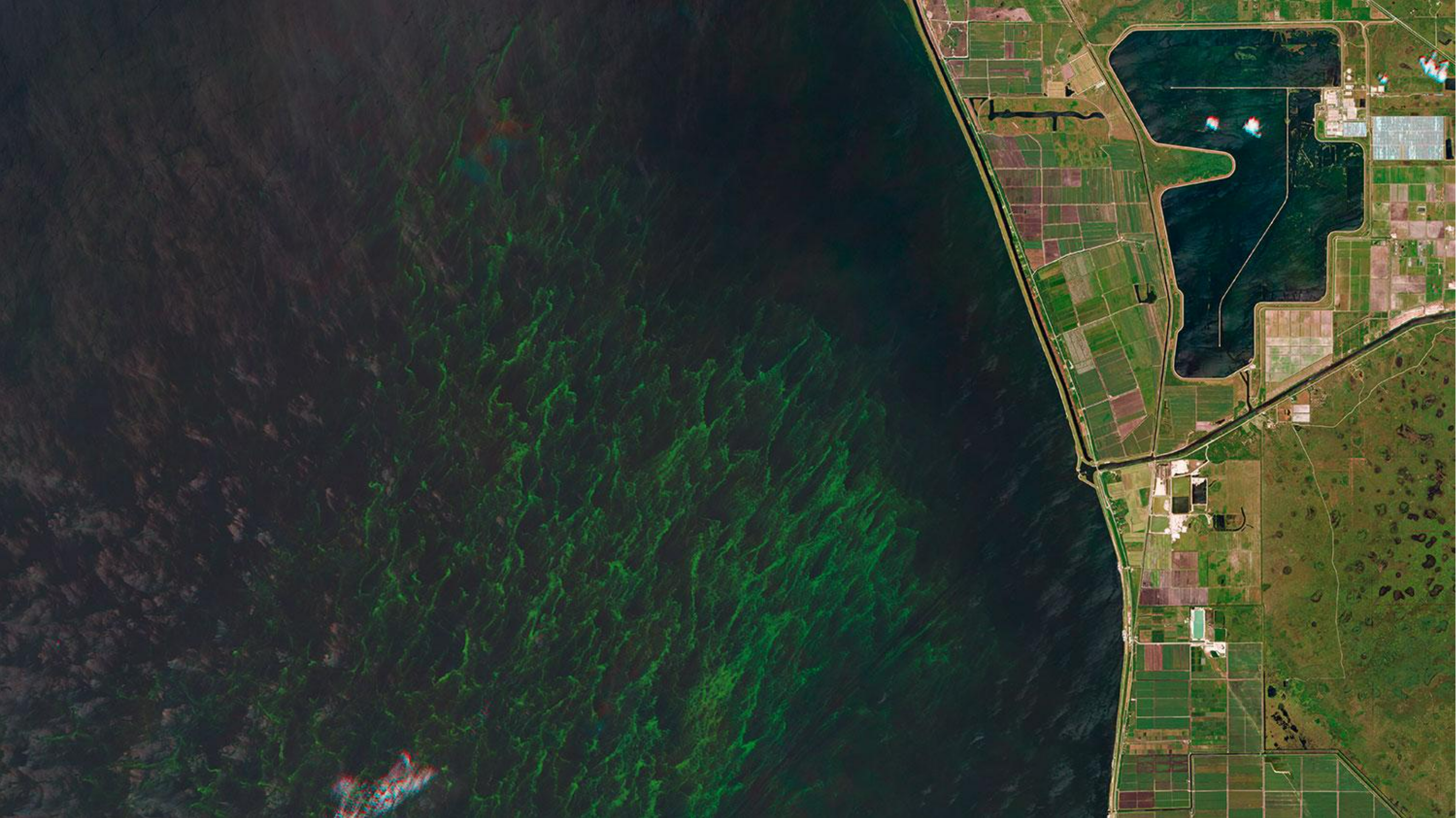
Tree Bloom Change Detection
In this lab exercise, use open source PlanetScope data to determine how many trees are blooming on the island of Barro Colorado, Panama.
On-Demand Courses
English
Integrations
Remote Sensing
Remote Sensing Basics
Science Programs
Use Cases
GIS
Planet Add-in for ArcGIS
auto-registration
Getting started with GDAL
In this tutorial, we'll learn about a powerful, widely-used, and broadly applicable Free & Open Source Software (FOSS) tool.
30 min
On-Demand Courses
English
Integrations
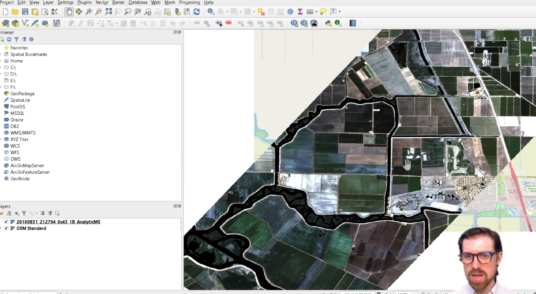
Planet Plugin for QGIS
auto-registration
Hosted Recording: Intro to Planet Data in QGIS
Join the Planet team in this hosted recording, introducing the how to find, and use, Planet data in QGIS.
Live Webinars
English
Integrations
Planet Plugin for QGIS
Intro to SkySat and the Tasking Dashboard
This course introduces the SkySat product and describes the terms and systems, including the Tasking Dashboard, needed to get the most out of Planet's high-resolution imagery.
On-Demand Courses
English
SkySat
auto-registration
Intro to Planet University
Consult this quick start guide to learn about Planet University, activate your Planet account, get started using Planet data, and gain access to Planet's help and support resources.
15 min
Account Management
Getting started
New user
Start
On-Demand Courses
English
About Planet
auto-registration
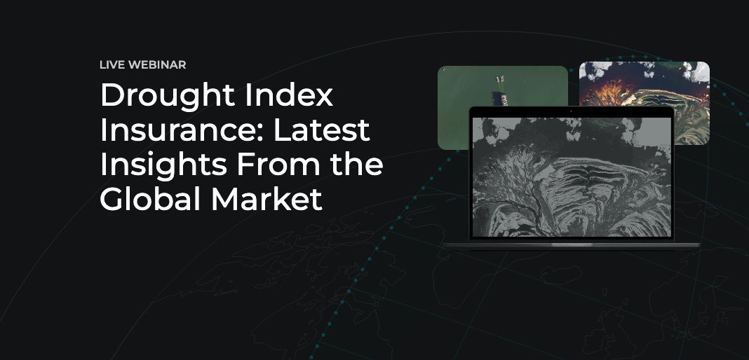
Drought Index Insurance: Latest Insights From the Global Market
View this recording of industry experts from Planet, Swiss Re, AXA Climate, and AgroInsurance for a look into how insurers are using satellite data to build products, measure crop conditions, and utilize indices that measure specific phenomena - like soil moisture and NDVI.
Agriculture
Recorded Webinars
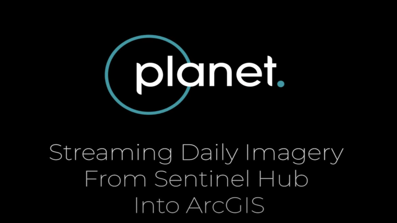
Hosted Recording: Intro to Planet Data in ArcGIS
Join the Planet team in this hosted recording introducing the how to find, and use, Planet data in the ArcGIS
Live Webinars
English
Integrations
Planet Add-in for ArcGIS
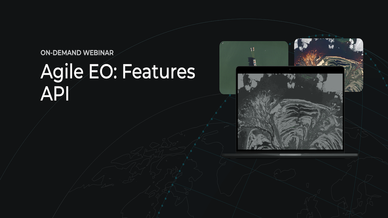
Agile EO: Features API
Planet released a new API, the Features API, for managing feature or vector data, that you use with other Planet APIs. This highly requested feature is designed to improve your efficiency when making multiple API requests by reducing the need to provide the same information repeatedly
English
Recorded Webinars
APIs
Agile EO
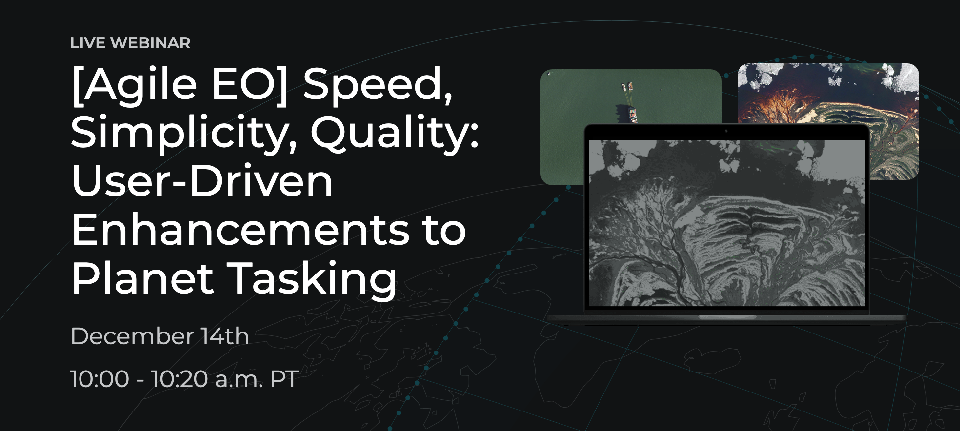
[Agile EO] Speed, Simplicity, Quality: User-Driven Enhancements to Planet Tasking
Join us for a look into the new and upcoming enhancements to Tasking, driven by users like you
English
Recorded Webinars
Planet Tasking
Agile EO
Planetology Webinar Series: Forestry
Watch the two inaugural sessions of the new Planetology webinar series to hear presentations by six forestry-focused researchers, covering how they use Planet data in their research.
Forestry
English
Recorded Webinars
Science
Science Programs
auto-registration
Planetology
Erste Schritte mit Planet University
Diese Kurzanleitung soll Ihnen dabei helfen, mehr über Planet University zu erfahren, Ihr Planet-Konto zu aktivieren, mit der Nutzung von Planet-Daten zu beginnen und Zugang zu den Hilfe- und Support-Ressourcen von Planet zu erhalten.
10 min
German
On-Demand Courses
About Planet
Deutsch
auto-registration
How Satellite Data is Changing Agriculture Insurance
Watch industry experts from Schweizer Hagel, Swiss Re, AXA Climate, Agroinsurance International, and Planet in a packed one hour webinar
Agriculture
English
Recorded Webinars
Agile EO
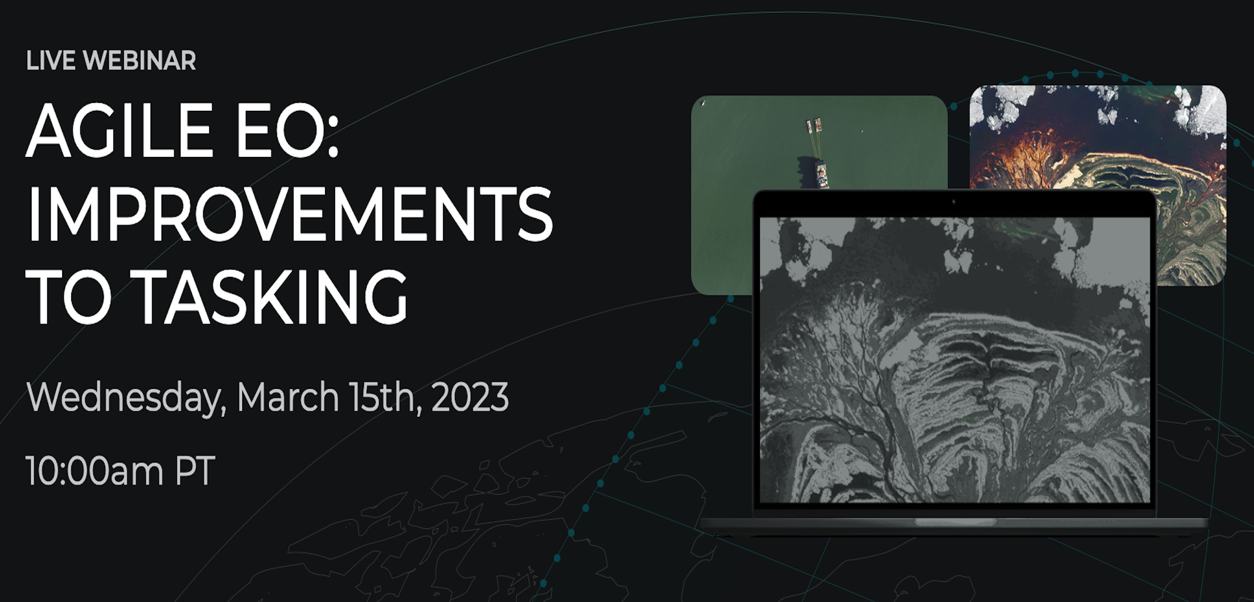
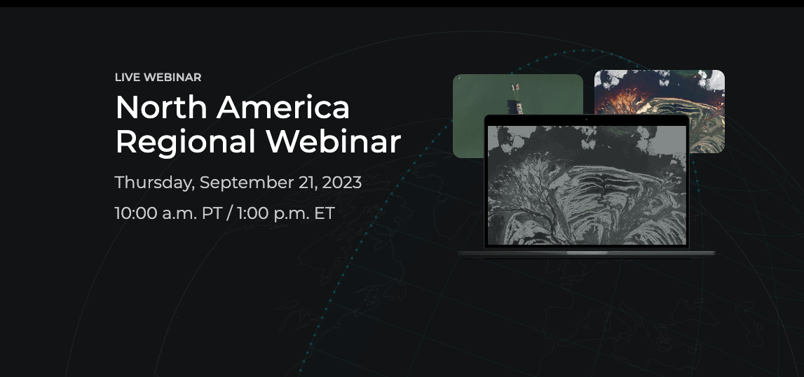
North America Regional Webinar: September 21, 2023
Watch this recording to learn more about regional updates for North America including upcoming events, product announcements and updates on Planet's education platforms
AMER
English
Recorded Webinars
Partner Training - Anti-Bribery & Corruption - January 2024
Partner Training - Anti-Bribery & Corruption - January 2024
10
Partner Content
Anti-bribery, bribery, compliance, corruption, partner, partners
auto-registration
Development Data Partnership: Intro to Planet Labs
This presentation gives an overview of the Planet Labs, including products, use-cases, and platforms, for those participating in the development data partnership.
Einführung in Planet Explorer fur BKG
Dies ist ein Einführungskurs in das Planet Explorer Web Tool. In diesem Kurs werden Sie mit der Benutzerschnittstelle dieses Tools, seinen Funktionen und einigen Tipps und Tricks vertraut gemacht, um über diese Plattform Einblicke in Planet Data zu erhalten.
5 min
Planet Explorer
German
On-Demand Courses
Deutsch
auto-registration
Oslo Tropical Forest Forum - Webinar April 2021
The webinar offers an introduction to the NICFI program and showcases powerful visualization tools that enable anyone, anywhere to monitor tropical deforestation using free high-resolution satellite imagery.
60 min
NICFI
English
Recorded Webinars
auto-registration
Introduction to Planetary Variables
This course introduces a set of derived data products, called Planetary Variables, and describes their capabilities and properties.
On-Demand Courses
English
Planetary Variables
auto-registration
Einführung in Planet
Dies ist eine Einführung in Planet. In dieser Einführung werden die Ziele, Ressourcen und Werkzeuge von Planet vorgestellt. Dazu gehört eine kurze Erläuterung der Mission von Planet, der Geschichte des Unternehmens, der Satellitenkonstellationen und einiger ihrer Anwendungsmöglichkeiten. In diesem Kurs werden auch die Tools von Planet vorgestellt, die für die Analyse der Bilddaten von Planet verwendet werden.
18 min
German
On-Demand Courses
About Planet
Deutsch
auto-registration
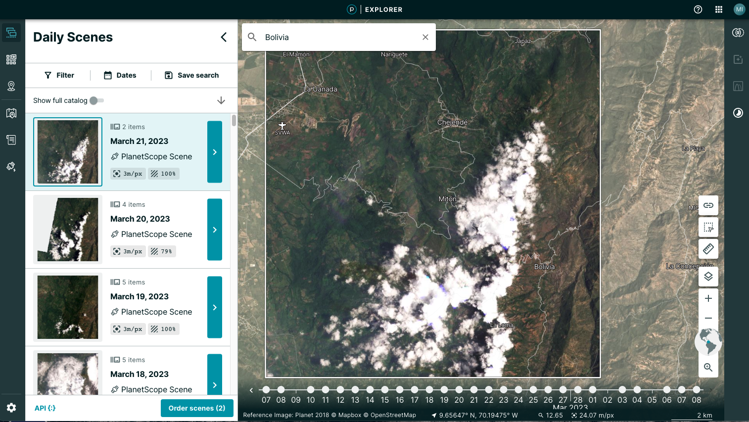
Einführung in Planet Explorer
Dies ist ein Einführungskurs in das Planet Explorer Web Tool. In diesem Kurs werden Sie mit der Benutzerschnittstelle dieses Tools, seinen Funktionen und einigen Tipps und Tricks vertraut gemacht, um über diese Plattform Einblicke in Planet Data zu erhalten.
10 min
Planet Explorer
German
On-Demand Courses
Deutsch
auto-registration
Einführung in Planet Basemaps
Dieser Kurs ist eine Einführung in die Planet-Basemaps-Produkte, macht Sie mit den Planet-Basemap-Funktionen vertraut, gibt einen Überblick über die Tools für den Zugriff auf Mosaike und bietet Anwendungsfälle für die optimale Nutzung von Daten.
3 min
German
On-Demand Courses
Planet Basemaps
Deutsch
auto-registration
Das neue BKG-Download-Tool
In diesem Webinar lernen Sie, wie sie mithilfe des BKG-Download-Tools Satellitendaten aus den Shared Hosted Folders herunterladen können. Darüber hinaus wird auch gezeigt, wie Sie damit auf Basemaps des BKG zugreifen können.
German
Deutsch
auto-registration
Live Webinar Series: Automating Your Search & Imagery Download Workflow
This training, for customers in organizations with live training hours, covers searching, and downloading imagery, using Planet APIs. Recommended Prerequisite: Getting Started with REST APIs + Python Intro
Image Extraction Using Planet's APIs
In this course Ed Oughton, of George Mason University, introduces how to use Planet's APIs to extract images, using Python
On-Demand Courses
English
APIs
Working with Spatial Data in Python
In this course Ed Oughton, of George Mason University, introduces how to begin working with spatial data in Python, including using Shapely, Pandas and Geopandas.
On-Demand Courses
English
APIs
auto-registration
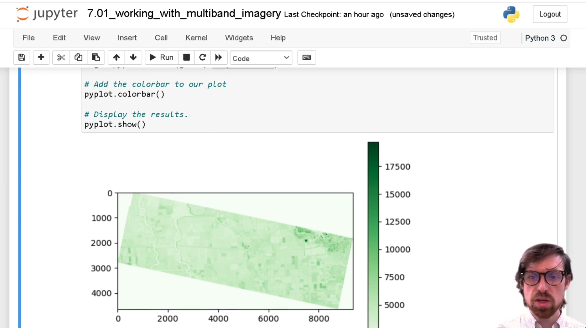
Multiband Imagery and Metadata
In this course Ed Oughton, of George Mason University, introduces how to work with Multiband Imagery, Coordinate Reference Systems and Metadata in Python.
On-Demand Courses
English
APIs
Intro to Pixel Object Extraction
In this course Ed Oughton, of George Mason University, introduces how to perform Pixel Object Extraction, using QGIS and Python.
On-Demand Courses
English
APIs
Python Next Steps
In this course Ed Oughton, of George Mason University, introduces some more complex Python concepts, such as Tuples, using dictionaries and multidimensional structures.
On-Demand Courses
English
APIs
auto-registration
Intro to Analyzing Satellite Imagery with Python
In this course Ed Oughton, of George Mason University, introduces how to set up a Python environment, for use in analyzing satellite imagery.
On-Demand Courses
English
APIs
auto-registration
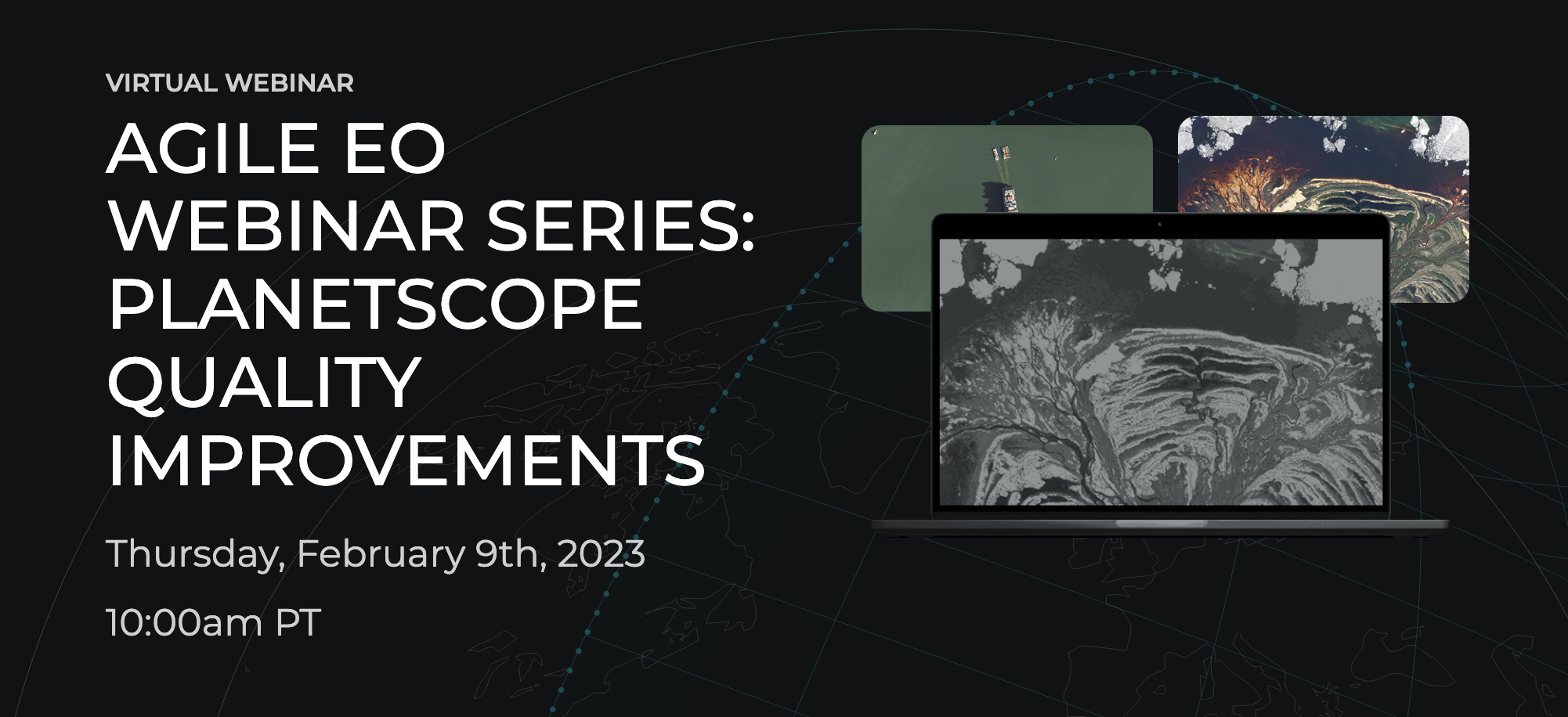
Agile EO Webinar Series: PlanetScope Quality Improvements
View this recorded webinar for a look into the improvements to PlanetScope data quality across a number of dimensions – from spectral band alignment, to removing artifacts, and more!
English
Recorded Webinars
Community AMA: Mike Merit, Chief Customer Officer at Planet
Join us in conversation with Planet's leaders in an opportunity to hear more about what is on their mind, and ask your questions!
English
Recorded Webinars
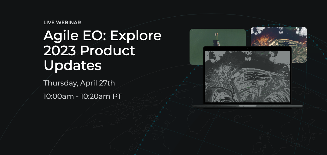
Agile EO: Explore 2023 Product Updates
Join us for an inside look into the product innovations revealed and discussed at Explore 2023, Planet’s annual conference that brings together Earth observation leaders to network, engage, and share the latest in Earth data.
English
Recorded Webinars
auto-registration