|
Resources
USER GUIDE AND FREQUENTLY ASKED QUESTIONS
To learn more about the program and its data products please read the NICFI Satellite Data Program User Guide. It is also available in Spanish, French, Indonesian and Portuguese.
You can check the Frequently Asked Questions if you have additional questions, which are also available in Spanish, French, Indonesia and Portuguese.
Please find here the NICFI’s statement regarding the NICFI Satellite Data Program access to high-resolution satellite data from the tropical rainforest belt after September 2024.
PRODUCT SPECIFICATIONS
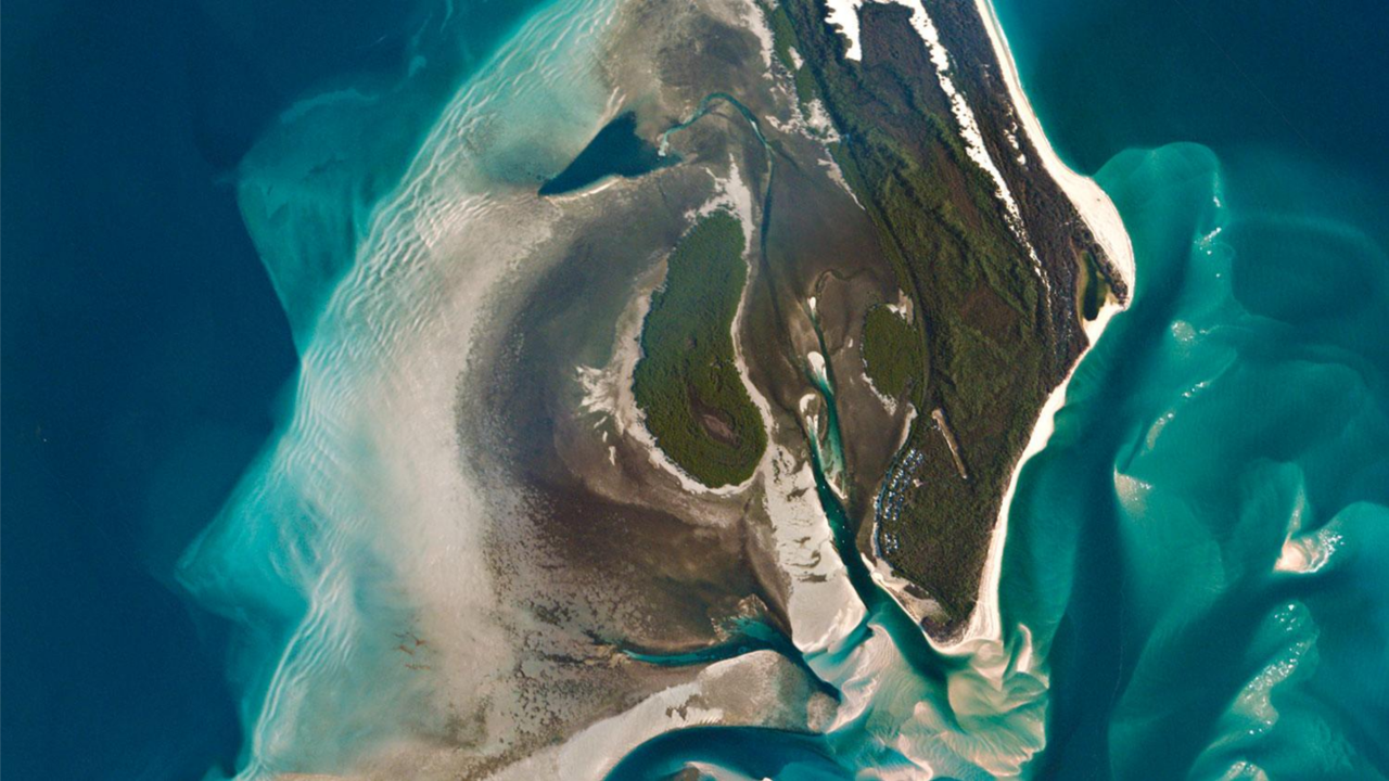
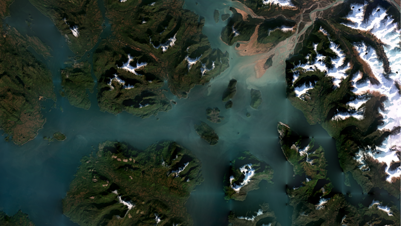
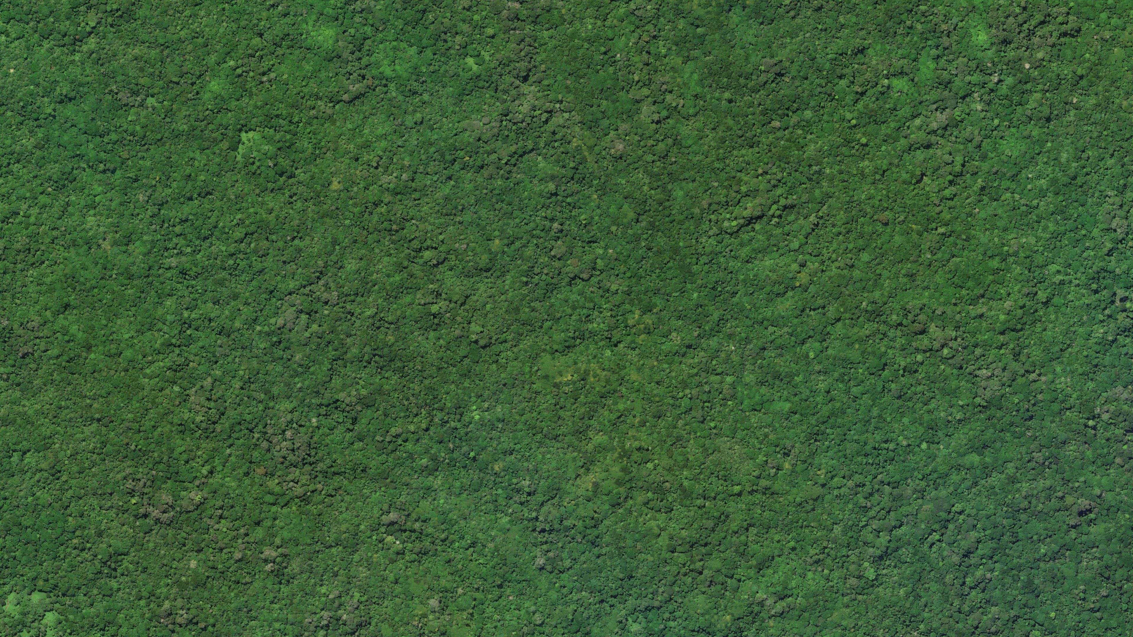
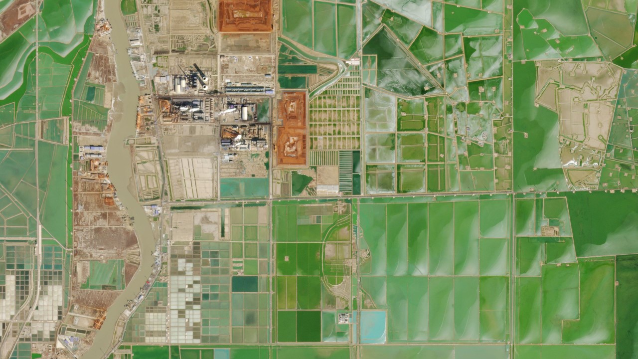
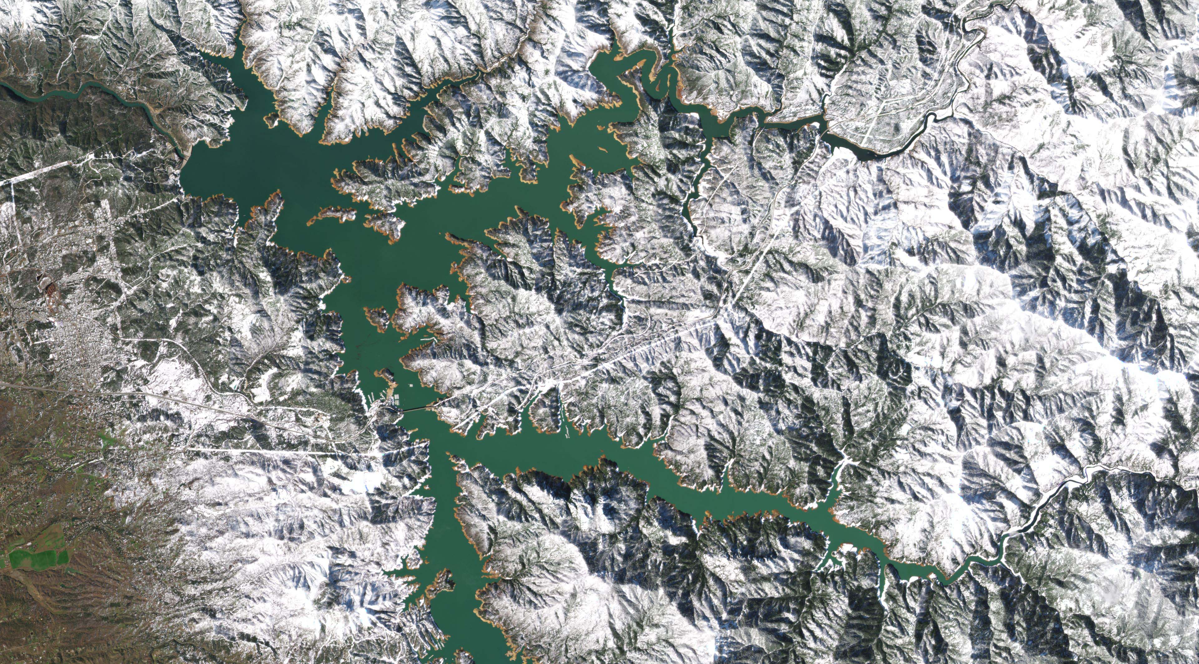
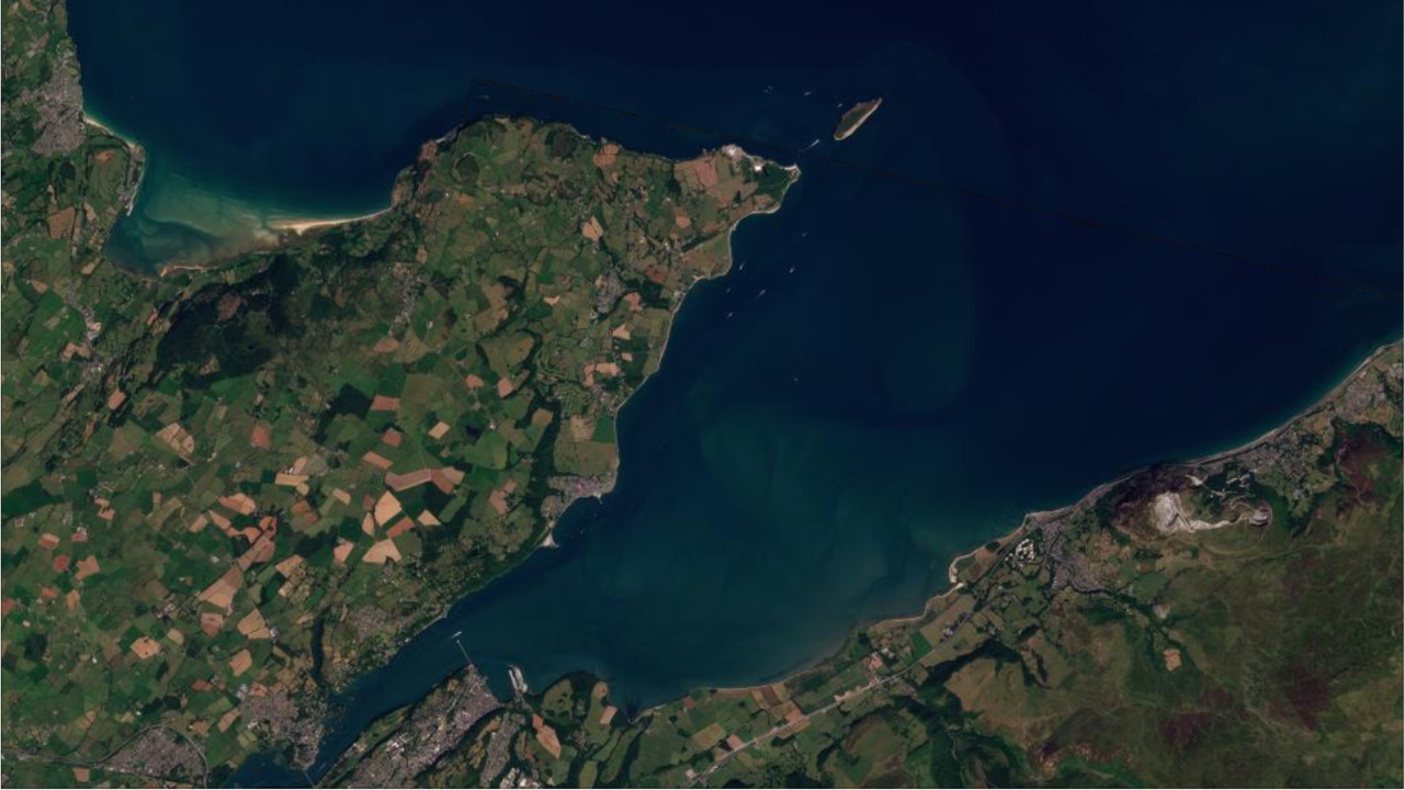
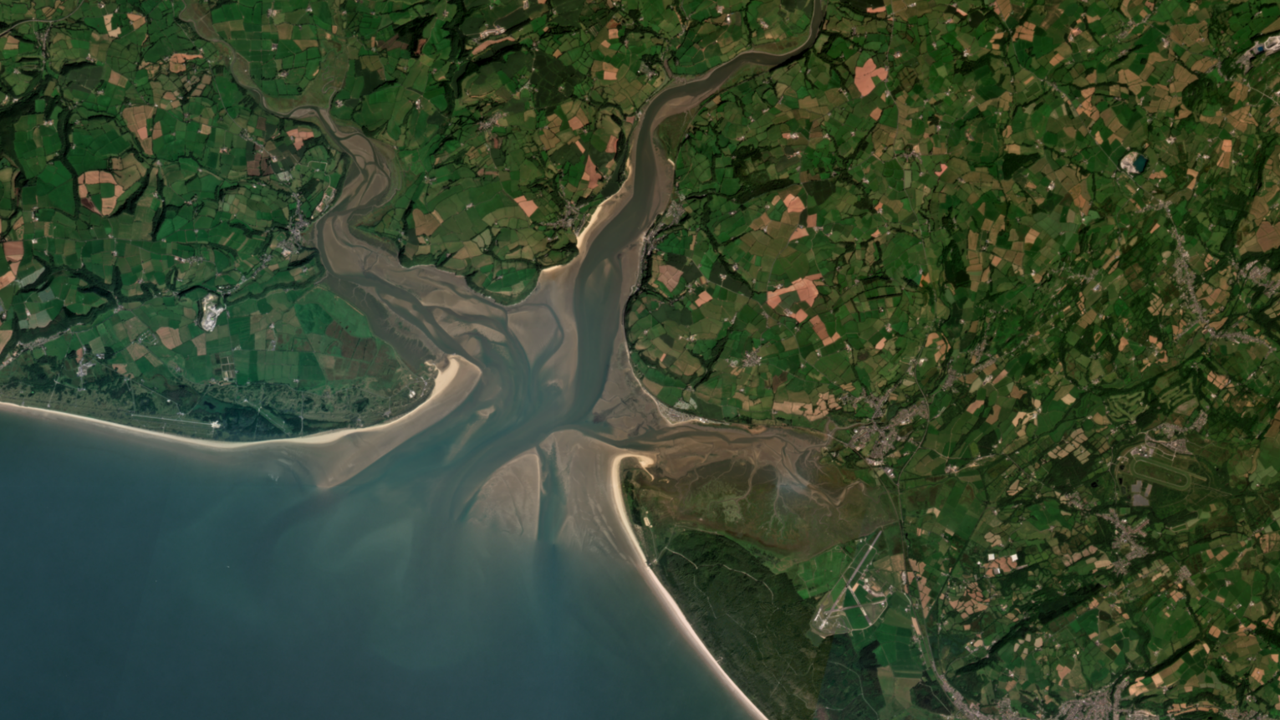
The NICFI Satellite Data Program includes PlanetScope Visual and Surface Reflectance (Analysis Ready) Basemaps. These cover Mosaics Archive (historical) data from December, 2015 - August, 2020 (one basemap every six months) and Monitoring (future) data from September, 2020 - August, 2022 (one basemap for each month).
You may gain further insight into the Basemaps Product Specification by reading our Addendum to Planet Basemaps Product Specifications (last updated on January 2023).
USER ACCESS
The NICFI Data has 3 User Access Levels:
- Level 0: Public view-only access to the Visual Mosaics (historical and future mosaics) through Purpose Ally sites. Purpose Allies are entities that engage the public on forests and land use monitoring:
- Level 1: Access to download Surface Reflectance mosaics (historical and future mosaics) from the Planet Platform and via Planet’s integrations. User groups include Third-Party Participants e.g., those individuals and organizations using the data in pursuit of the NICFI Satellite Data Program purpose. In addition, Level 1 users can stream and download Planet Basemaps from multiple sources. Please read through the User Guide or refer to the Training Courses to find the most appropriate tool for your needs.
- Level 2: Strategic partners defined by the Norwegian Ministry of Climate and Environment who have access to Level 1 data layers and the underlying scenes from Planet and selected historical archive data from Airbus back to 2002.
LICENSE AGREEMENT
The Level 1 data is licensed by Planet under a custom, non-commercial license (similar to a Creative Commons-type license) in support of the NICFI Satellite Data Program’s Purpose. All data products licensed through this program have a perpetual license meaning that data downloaded can continue to be used once the program has ended. The Participant License Agreement can be found here.Level 0 is publicly displayed and accessible to all.
ACTIVITY REPORTS
NICFI Satellite Data Program one-pager as well as quarterly reports, starting From Q1 2021 are available on KSAT's NICFI Tropical Forest Program website. Scroll down to the Quarterly Reports section.
COMMUNITY
Feel free to join our Planet Community, where you can chat with other NICFI Satellite Data Program users, ask questions and share your knowledge with others. We have a dedicated NICFI Satellite Data Program forum but welcome interaction anywhere in the Community!
Find published academic work (as of August 2023) as well as open code repository using (and referencing) the NICFI Satellite Data Program. These resources are the results of an ongoing effort and we welcome your input, updates and corrections to keep improving them via email at nicfi-servicedesk@ksat.no.
SOCIAL MEDIA
Showcase your efforts to combat tropical forest loss with any member of the NICFI initiative via social media! Follow @NICFISatData on X (formerly known as Twitter) to receive updates on the Program's users and activities. Additional citations and template information on how to share images can be found on the NICFI Satellite Data Program Social Media Playbook.
| NICFI | KSAT | Planet | Airbus | NICFI Satellite Data Program | |
| @nicfinorway | @KSAT.kongsberg | @PlanetLabs | @AirbusSpace | -- | |
| -- | -- | @planetlabs | @airbus_space | -- | |
| @NICFI - Norway's International Climate and Forest Initiative | @KSAT-Kongsberg Satellite Services | @planet-labs | @Airbus-Defence-and-Space @Airbus Defence and Space - Intelligence |
-- | |
| X (formerly known as Twitter) | @climateforest | @KSAT_Kongsberg | @planet | @AirbusSpace | @NICFISatData |
Additional information on citations along with template on how to share images can be found on the NICFI Social Media Playbook.
FURTHER INFORMATION
You might also be interested in the following links:
- Norway's NICFI Home Page
- Planet's NICFI Satellite Data Program Home Page
SUPPORT
If you need further support with the NICFI Satellite Data Program, please contact the 24/7 support service available to all users throughout the contract term at: nicfi-servicedesk@ksat.no.


![[Agile EO] Speed, Simplicity, Quality: User-Driven Enhancements to Planet Tasking](https://cc.sj-cdn.net/instructor/ej9j067ymfqn-planet-labs-pbc/courses/33hi50v6xyu4h/promo-image.1702684253.png)