Back
Sign In
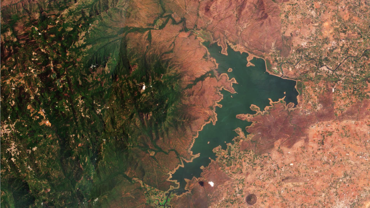
Global Forest Watch Workflow using NICFI Imagery
This webinar walks through how the Global Forest Watch uses NICFI satellite imagery to monitor illegal deforestation
Register | FREE
Already registered?
Sign In
Cancel
Apply
rate limit
Code not recognized.
Activate